This feature is unavailable at the moment.
We apologize, but the feature you are trying to access is currently unavailable. We are aware of this issue and our team is working hard to resolve the matter.
Please check back in a few minutes. We apologize for the inconvenience.
- LoopNet Team
SH-19
Ada, OK 74820
21841(08), Part of Parcel 49 · Land For Sale · 1.18 AC

Investment Highlights
- Raw Land
- Close to Ada, OK. City Limits
- Clean Title
PROPERTY FACTS
| Property Type | Land | Total Lot Size | 1.18 AC |
| Property Subtype | Residential | Cross Streets | County Road 3487 Circle |
| Property Type | Land |
| Property Subtype | Residential |
| Total Lot Size | 1.18 AC |
| Cross Streets | County Road 3487 Circle |
Description
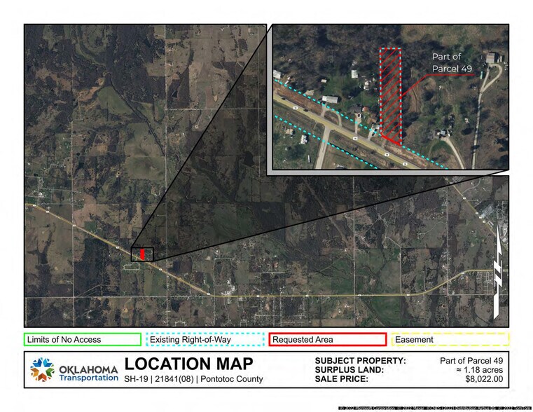
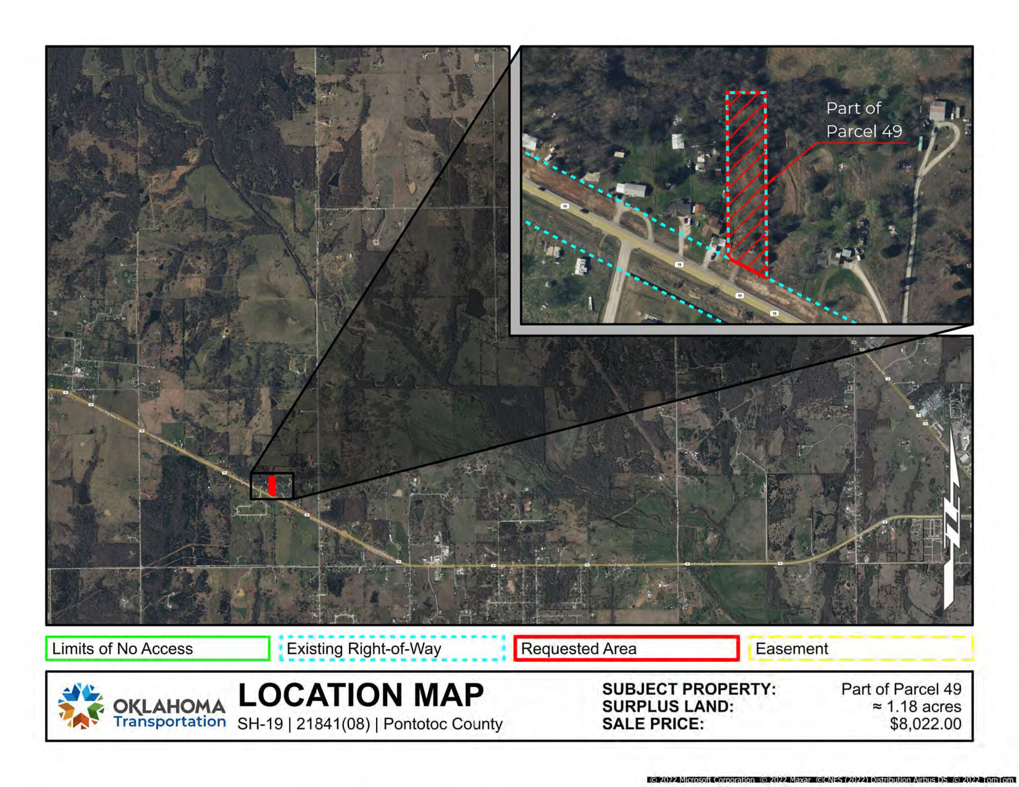
A strip, piece, or parcel of land lying in part of the NW/4 SE/4 of Section 29, T4N, R5E, in Pontotoc County, Oklahoma. Said parcel being described by metes and bounds as follows: The East 105 feet of all that part of the NW/4 SE/4 of Section 29, Township 4 North, Range 5 East, lying Northerly of the Present State Highway No. 19 right-of-way line. Said right-of-way line being 75 feet perpendicular from the ceterline of said State Highway No. 19. Containing 1.18 acres (51,242.12 sq. ft.), more or less.
Links
PROPERTY TAXES
| Parcel Number | 0000-29-004-005-0-020-00 | Improvements Assessment | $0 |
| Land Assessment | $854 | Total Assessment | $854 |
PROPERTY TAXES
Listing ID: 27318369
Date on Market: 2022-12-15
Last Updated:
Address: SH-19, Ada, OK 74820

