605 Stewarts Ferry Pike | Nashville, TN 37214
This feature is unavailable at the moment.
We apologize, but the feature you are trying to access is currently unavailable. We are aware of this issue and our team is working hard to resolve the matter.
Please check back in a few minutes. We apologize for the inconvenience.
- LoopNet Team
thank you

Your email has been sent!
605 Stewarts Ferry Pike
Nashville, TN 37214
Land For Sale · 22.31 AC


Executive Summary
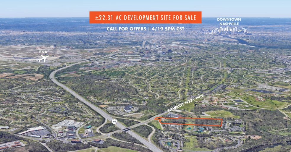
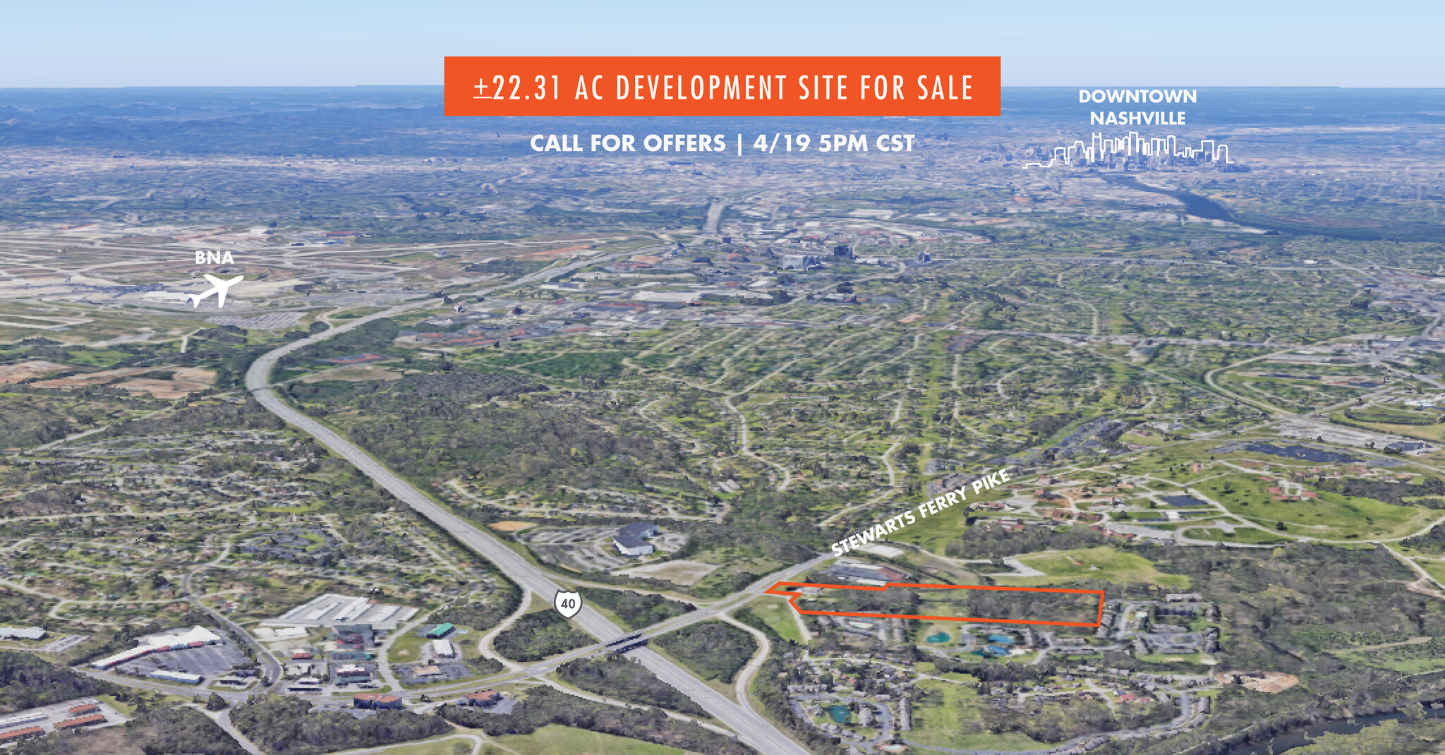
Call for offers due by 4/19/23 at 5PM CST.
• Underlying land use policy supports mixed use, multifamily and retail uses.
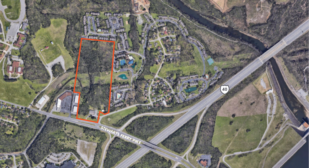
• Less than ~500’ off I-40.
• Within ~15 minutes to BNA and Downtown Nashville.
• Walking distance to the Stones River Greenway and Percy Priest Dam.
• ~6 Minutes to the Music City Star (Donelson Station).
• Approximately 15 acres usable.
PROPERTY FACTS Under Contract
| Sale Type | Investment | Property Subtype | Residential |
| No. Lots | 1 | Total Lot Size | 22.31 AC |
| Property Type | Land |
| Sale Type | Investment |
| No. Lots | 1 |
| Property Type | Land |
| Property Subtype | Residential |
| Total Lot Size | 22.31 AC |
1 Lot Available
Lot
| Lot Size | 22.31 AC |
| Lot Size | 22.31 AC |
Description
Address: 605 Stewarts Ferry Pike Nashville, TN 37214 Parcel: 09600000502; 09600000501 Size: + 22.31 AC County: Davidson Zoning: R-10; RM-9 Frontage: 350+ Feet of Frontage on Stewarts Ferry Pike Potential Uses: Mixed Use, Single Family, Townhomes, or Garden Style Multifamily Utilities: In place Topograpy: Rolling Hills Land Use Policy: T3CC (Suburban Community Center); T3NE (Suburban Neighborhood Evolving)
PROPERTY TAXES
| Parcel Number | 096-00-0-005.02 | Improvements Assessment | $541,944 CAD |
| Land Assessment | $275,237 CAD | Total Assessment | $817,181 CAD |
PROPERTY TAXES
Parcel Number
096-00-0-005.02
Land Assessment
$275,237 CAD
Improvements Assessment
$541,944 CAD
Total Assessment
$817,181 CAD
zoning
| Zoning Code | R-10 and RM-9 (Residential Multi-Family) |
| R-10 and RM-9 (Residential Multi-Family) |
1 of 4
VIDEOS
3D TOUR
PHOTOS
STREET VIEW
STREET
MAP

