|

|

| COLLECTION STREET | CROSS STREET | TRAFFIC VOLUME | YEAR | Distance |
|---|---|---|---|---|
| State Route 36 | Cedric Pl, E | 28,400 | 2025 | 0.26 km |
| Main St | Charles St, S | 8,571 | 2025 | 0.39 km |
| State Route 36 | Compton Ave, W | 30,366 | 2025 | 0.45 km |
| Palmer Avenue | - | 7,307 | 2025 | 0.55 km |
| Monroe Avenue | Johnson Ter, SW | 2,755 | 2025 | 0.60 km |
| State Rte 36 | Monroe Ave, W | 27,572 | 2025 | 0.61 km |
| State Route 36 | Grove St, E | 27,964 | 2025 | 0.65 km |
| Port Monmouth Road | Snyder Ave, W | 8,363 | 2025 | 0.83 km |
| Port Monmouth Road | Garden St, E | 8,940 | 2025 | 0.97 km |
| Palmer Ave | Maurice Ave, S | 11,732 | 2025 | 1.04 km |


| Parcel Number | 18-00149-0000-00001 | Improvements Assessment | $1,665,439 CAD |
| Land Assessment | $1,238,840 CAD | Total Assessment | $2,904,280 CAD |
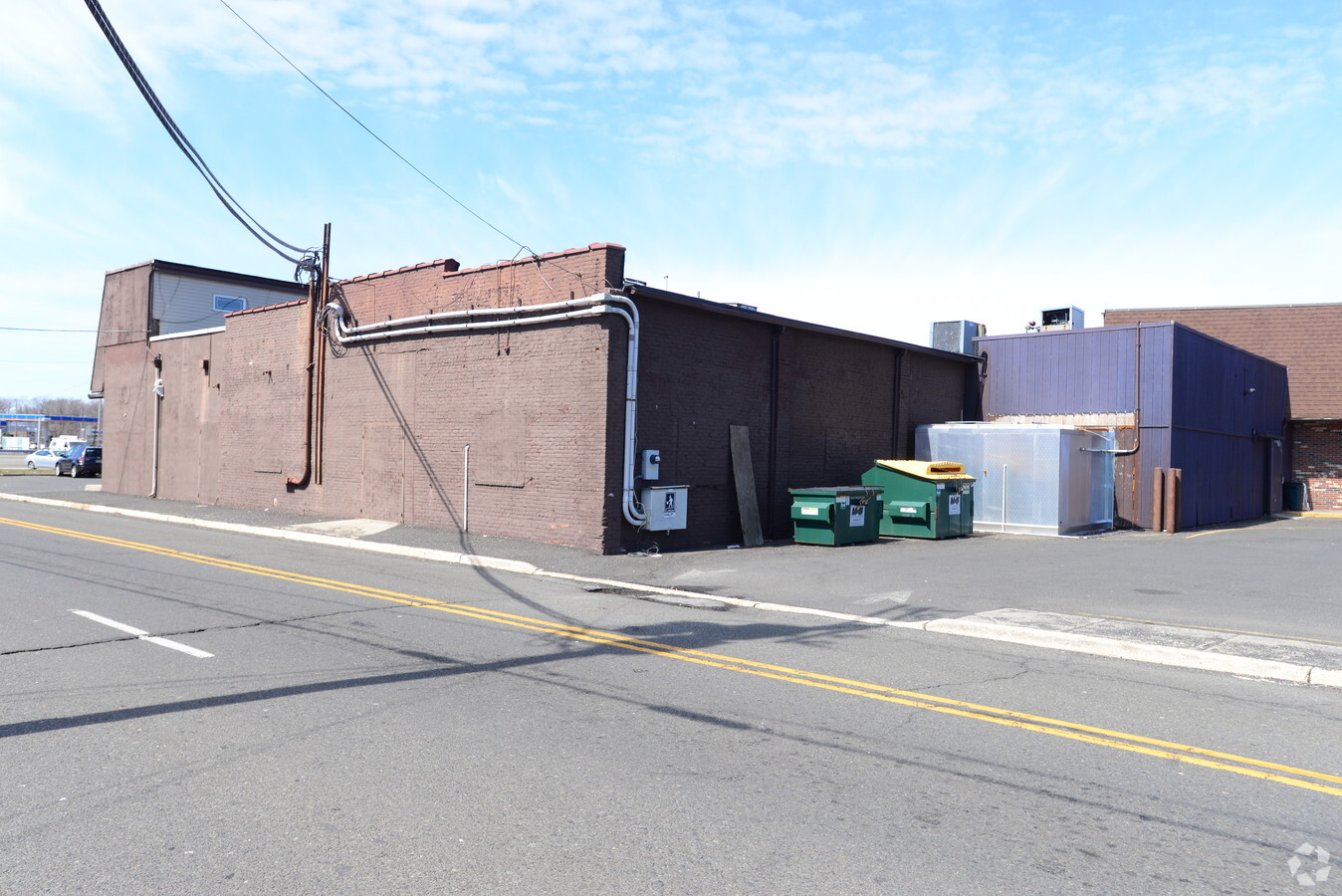
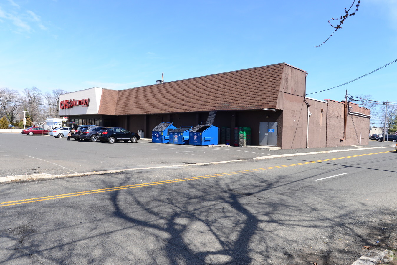 Building Photo
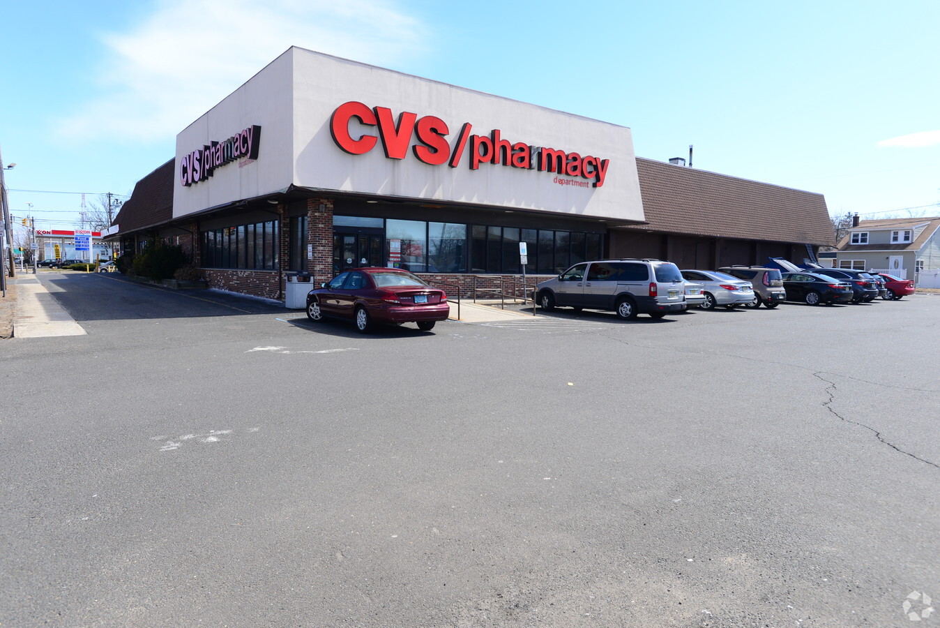 Building Photo
 Building Photo
The LoopNet service and information provided therein, while believed to be accurate, are provided "as is". LoopNet disclaims any and all representations, warranties, or guarantees of any kind.