2200 Shoreline Dr - The Southern End of Topsail Island
This feature is unavailable at the moment.
We apologize, but the feature you are trying to access is currently unavailable. We are aware of this issue and our team is working hard to resolve the matter.
Please check back in a few minutes. We apologize for the inconvenience.
- LoopNet Team
thank you

Your email has been sent!
2200 Shoreline Dr - The Southern End of Topsail Island
110 Acres of Residential Land Offered at $11,443,945 CAD in Topsail Beach, NC 28445


Investment Highlights
- 110+ Oceanfront Acres
- Ocean and Sound Front
- Over One Mile of Water Frontage
- Property Has Benefited (and Grown) from Accretion
Executive Summary
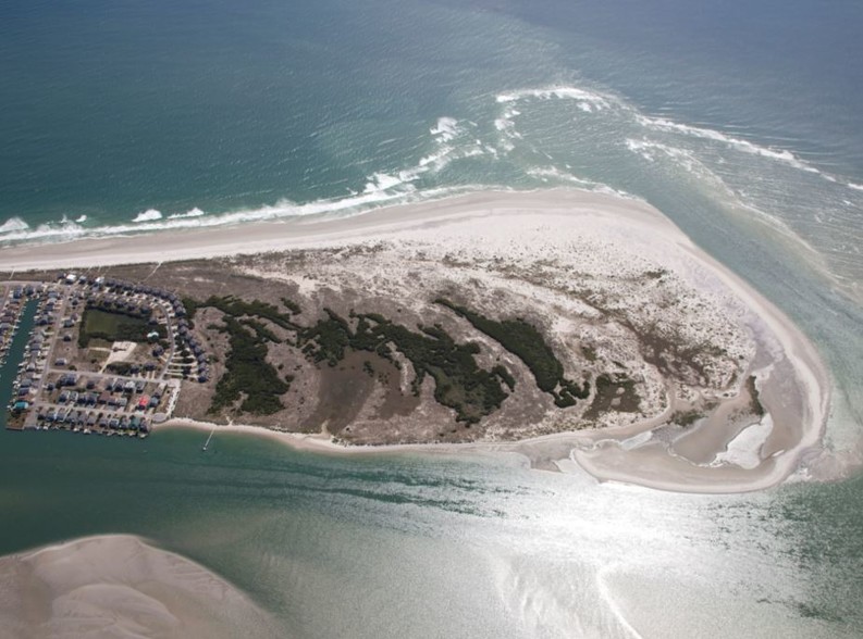
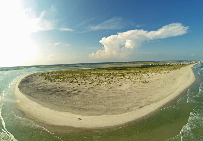
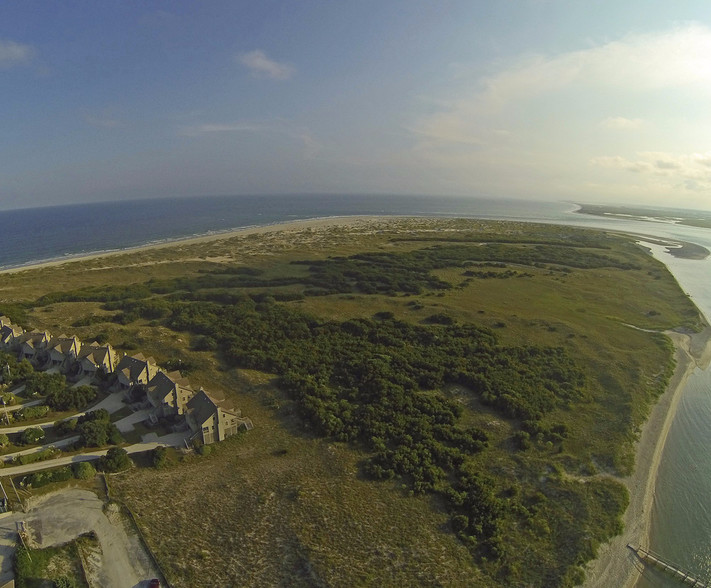
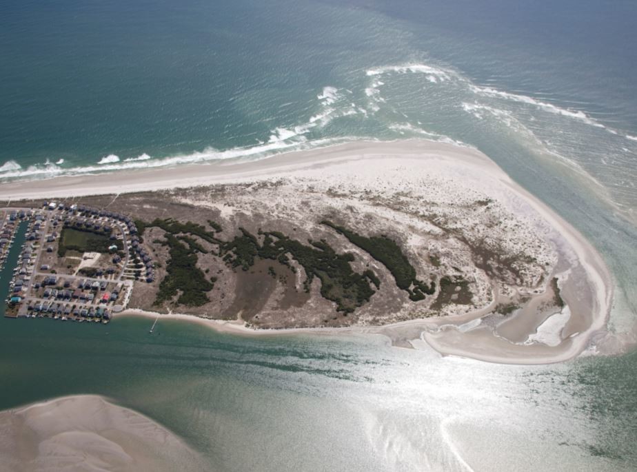
This offering presents a very unique opportunity to purchase one of the last remaining large oceanfront tracts in the region. The Subject is the southernmost parcel of Topsail Island, a 26-mile long barrier island located off the coast of North Carolina that includes the coastal towns of Topsail Beach, Surf City and North Topsail Beach. The +/- 110 acre tract benefits from well over one mile of water frontage along the Atlantic Ocean, New Topsail Inlet and Bank’s Channel, with the latter providing convenient access to the Intracoastal Waterway (“ICW”).
New Topsail Inlet is a migratory inlet that is adjacent to the Subject and serves as its southern boundary. For nearly 300 years, New Topsail Inlet has consistently and steadily migrated south; estimates suggest that the inlet’s southwest migration has occurred at an average rate of 125 feet per year during the past 275 years.* The migration pattern of New Topsail Inlet is of significance because while other beaches have seen trends of erosion, the Subject has considerably increased in size due to the steady and consistent accumulation of sand along the oceanfront and southern boundary.
*SOURCE: Warren, J., Richardson., K. (2010): Inlet Hazard
Property Facts Under Contract
| Price | $11,443,945 CAD | Property Type | Land |
| Sale Type | Investment or Owner User | Property Subtype | Residential |
| No. Lots | 1 | Total Lot Size | 110.00 AC |
| Price | $11,443,945 CAD |
| Sale Type | Investment or Owner User |
| No. Lots | 1 |
| Property Type | Land |
| Property Subtype | Residential |
| Total Lot Size | 110.00 AC |
1 Lot Available
Lot
| Price | $11,443,945 CAD | Lot Size | 110.00 AC |
| Price Per AC | $104,035.87 CAD |
| Price | $11,443,945 CAD |
| Price Per AC | $104,035.87 CAD |
| Lot Size | 110.00 AC |
Description
South end of Topsail Beach
PROPERTY TAXES
| Parcel Number | 4201-59-8862-0000 | Improvements Assessment | $0 CAD |
| Land Assessment | $4,267,130 CAD | Total Assessment | $4,267,130 CAD |
PROPERTY TAXES
Parcel Number
4201-59-8862-0000
Land Assessment
$4,267,130 CAD
Improvements Assessment
$0 CAD
Total Assessment
$4,267,130 CAD
zoning
| Zoning Code | C-4, R-2 |
| C-4, R-2 |
1 of 4
VIDEOS
3D TOUR
PHOTOS
STREET VIEW
STREET
MAP
Presented by

2200 Shoreline Dr - The Southern End of Topsail Island
Already a member? Log In
Hmm, there seems to have been an error sending your message. Please try again.
Thanks! Your message was sent.


